April 13, 2015
Tracking Transit in Kampala, Uganda
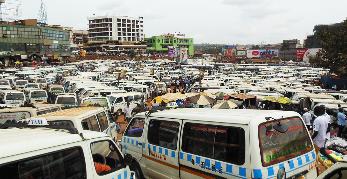
 During the month of March, ITDP Africa was busy in Kampala, Uganda, working with a team of local university students to build the first ever map of the city’s matatu minibus routes. As in many African cities, Kampala’s matatus follow inconsistent routes, a fact which undermines reliability for passengers and prevents advanced planning around them. As an informal system, data on routes and ridership levels are hard to come by. To address these issues, ITDP partnered with students from Makerere University to map Kampala’s matatu taxi network and collect data on passenger volumes and demand.
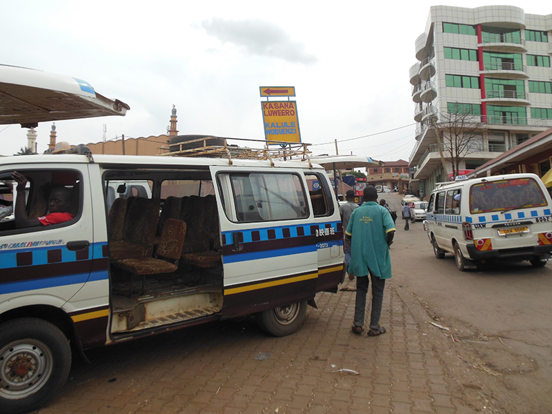
The informal matatu system is the dominant form of public transit in Kampala, but its variable routes can be confusing for even the most experienced users. The path and timing of each matatu can vary day to day or even hourly, due to congestion, construction, and the presence of the traffic police, among other things. Even a matatu’s origins and destinations can change. If a matatu stage is crowded, drivers may relocate to different stages or parks to find fares. This gap in predictability not only limits the ability to regulate existing services, but it also limits the introduction of new services, including the planned bus rapid transit corridor.
To help rectify this, ITDP is creating the first ever comprehensive map of matatu taxi services in the city. The Kampala Mobility Map will improve way-finding around the city, allowing visitors, new residents and frequent matatu riders to better understand Kampala’s public transport network and plan their trips. With the data now in hand, ITDP will work to create a useful tool for passengers and transit planners alike.

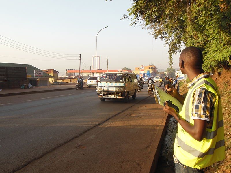
In addition to gathering data on the itineraries of the matatu routes, ITDP and the Makerere University students carried out three surveys focused on the quantity of people using the system. The surveys collected data on the passenger volumes and demand on the major corridors in the city by evaluating how many passengers get on and off a matatu or bus at each stop along the route, how many vehicles operate on the major roads, how full each vehicle is, and how many passengers needed to transfer between routes during their commute.
By identifying the passenger volumes and demand on Kampala’s major transit corridors, points of origin and destination, and transfer points, the Kampala Capital City Authority, the national Ministry of Works and Transport, as well as other local districts, can better guide improvements such as pedestrian crossings, major transfer points or stops, as well as help guide regulations over vehicle fleets.

As traffic in Kampala worsens, the importance of managing the city’s transit patterns grows too. The information provided by these surveys will help the city develop plans to reduce congestion and improve mobility. As the city moves forward with plans for a bus rapid transit and other urban improvements, the new data will help guide a stronger network, and a stronger city.
