
July 25, 2019
Planning Nairobi’s bus rapid transit system
Accurate data on the demand for transport are critical to the design of any public transport system. In Nairobi, where public transport accounts for nearly seventy percent of motorised travel, the Nairobi Metropolitan Area Transport Authority (NaMATA), with the support of ITDP, is drawing on detailed field studies to develop an integrated service plan for BRT and regular bus services in the metropolitan area.
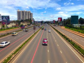
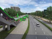
Nairobi’s planned bus rapid transit (BRT) system will offer an efficient, time saving public transport mode. The system covers Nairobi City County and the adjoining counties of Kiambu, Kajiado, Machakos, and Murang’a. The interconnected BRT lines are named after Kenya’s Big Five animals: Simba (Lion), Kifaru (Rhino), Chui (Leopard), Ndovu (Elephant), and Nyati (Buffalo).

To inform the BRT service plan, a team drawn from Kenya’s Ministry of Transport, Infrastructure, Housing Urban Development, and Public Works (MOTIHUD) has been conducting several surveys. Frequency-occupancy counts assesses how frequent each bus or matatu route runs and the number of passengers on each vehicle. This survey is conducted to reveal the existing demand on the matatu network. Second, boarding and alighting surveys assess how many passengers get on and off a matatu along the route, at both formal and informal stops. The survey team has taken over 947 trips by matatu, recording detailed information using a GPS-enabled smartphone app.
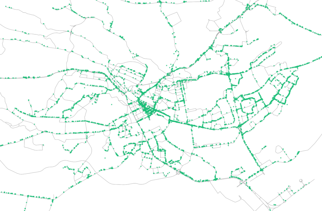
Lastly, transfer surveys are conducted to identify the number of people transferring along public transport routes, the places where they start and finish their trips, and the time spent switching between lines. The survey involves interviewing passengers on board to gather these trip details. The transfer survey will help determine where cross-town routes can save time by reducing connections and allowing commuters to bypass Nairobi’s ever-congested central business district.
The exercise has served as a capacity building effort for NAMATA and MOTIHUD as they embark on the process of planning and implementing the BRT system. The survey results will help paint a picture of the public transport network in Nairobi and enable ITDP and NAMATA to gauge existing passenger demand. As the next step, the team will use the data to model possible service scenarios for BRT and matatu services and identify necessary infrastructure improvements. Route planning that puts the passenger first can help create user friendly services that unlock access to opportunities for residents across Nairobi.